developed by OceanDataLab

Format specifications

The IDF specifications document provides details on the conventions that must be followed to create a valid IDF file, as well as guidelines to convert your own data.

Note that the idf-converter Python package already supports many data types, so be sure to check if your data are not already supported before writing your own conversion routine!

Loading IDF files in SEAScope

The first time SEAScope is started, the application creates a configuration file named config.ini that contains paths for the colormaps, custom, annotations,... directories.

For each data collection, SEAScope expects the data directory to contain:

  • one subdirectory containing one or several granules
  • a configuration file defining how SEAScope should render the granules that belong to the collection
The collection configuration file must have the same name as the subdirectory that contains the granules, with a .ini extension.

When you have new IDF files that you want to visualise with SEAScope, copy or move them to the directory that corresponds to the collection they belong to while making sure that you respect the data / collection / granule / IDF file layout.

If the granule belongs to a collection which has no directory yet, you first have to create the collection directory, then to copy/move the granules inside it and to add a configuration file (named after the collection directory, with a .ini extension) describing how SEAScope should render this collection's granules. Without the configuration file SEAScope will not detect the collection and will ignore its granules.

Next time you start SEAScope, the application should detect that new granules are available and prompt you to ask if the index should be rebuilt. Agree and SEAScope will rebuild its index: your new granules are now available for visualisation in SEAScope.

Please note that SEAScope will not detect the availability of new granules unless you restart the application!

Check out the tutorials for a step by step guide on how to add the sample data or a case study to SEAScope for your platform.
Sample data

SEAScope is already able to display a lot of satellite, in-situ and model data coming from several providers.

A bundle containing samples for (almost) all the data currently supported by SEAScope is available here (841 MiB).

Please note that the heavier data collections (from Sentinel-1, Sentinel-2, MODIS or VIIRS) are not included in the bundle.
These samples, as well as the ones included in the bundle, can be downloaded per collection by browsing this directory tree.

A smaller bundle, used during the OTC23, is available here (105 MiB).

If you need more data from these collections or if you want another type of data to be added to the list, please let us know!

Case studies

Agulhas current
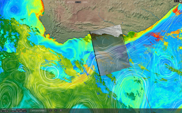
SEAScope screenshot with Agulhas current case study data
Snapshots of Hi-Res Sentinel1 sea surface roughness modulation by the Agulhas current together with 1km IR SST and Chlorophyll concentration data from MODIS and VIIRS as well as regional ODYSSEA SST with Globcurrent geostrophic current and Jason 2 Sea Level Anomalies.
Global circulation
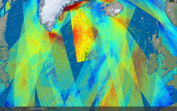
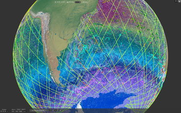
SEAScope screenshot with global circulation case study data
One month (Dec 2015) of global Odyssea SST with surface current from Globcurrent and OSCAR, along track Sea Level Anomalies from Jason2 altimeter together with Mean Dynamic Topography and in-situ SVP drifters at 15m depth.
Ocean wind
SEAScope screenshot with ocean wind case study data
One day (1st Dec 2015) of ASCAT A/B 10m winds with additional ECMWF background.
Brittany tidal current
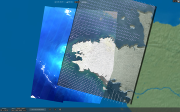
SEAScope screenshot with Brittany tidal current case study data
Snapshot of clear sky Sentinel2 on 14th Feb 2017 over strong tidal currents in Britanny (western tip of France) with colocated Sentinel1 sea surface roughness.
Gibraltar strait
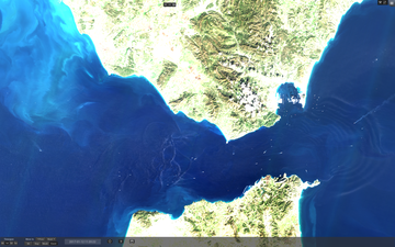
SEAScope screenshot with Gibraltar strait case study data
Snapshot of clear sky Sentinel2 on 12th Jan 2017 over Gibraltar strait with strong currents, internal waves and ship wake signatures.
Gulf of Lion
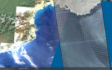
SEAScope screenshot with Gulf of Lion case study data
Snapshot of clear sky Sentinel2 on 3rd Jan 2017 over the Gulf of Lion with coastal submesocale signatures and wave breaking, with colocated Sentinel1 sea surface roughness.
Polar
SEAScope screenshot with polar case study data
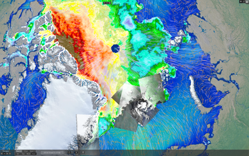
Wave propagation in sea ice with Sentinel1 TOPS modes along with WW3 sea state model wave partitions and medium resolution sea ice information from ASCAT scatterometer and AMSR radiometer.